
Thank you for supporting this site ❤️
Make a donation
Make a donation
River Ridge topographic map
Click on the map to display elevation.
Thank you for supporting this site ❤️
Make a donation
Make a donation
About this map
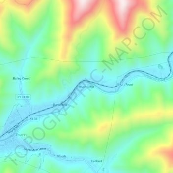
Name: River Ridge topographic map, elevation, terrain.
Location: River Ridge, Harlan County, Kentucky, 40828, United States (36.85703 -83.19156 36.89703 -83.15156)
Average elevation: 584 m
Minimum elevation: 394 m
Maximum elevation: 1,010 m
Thank you for supporting this site ❤️
Make a donation
Make a donation
Other topographic maps
Click on a map to view its topography, its elevation and its terrain.