
朝天镇 topographic map
Interactive map
Click on the map to display elevation.
About this map
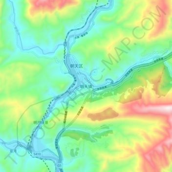
Name: 朝天镇 topographic map, elevation, terrain.
Location: 朝天镇, 朝天区, 广元市, 四川省, 中国 (32.60284 105.84534 32.68284 105.92534)
Average elevation: 759 m
Minimum elevation: 483 m
Maximum elevation: 1,361 m
Other topographic maps
Click on a map to view its topography, its elevation and its terrain.