
抚远市 topographic map
Interactive map
Click on the map to display elevation.
About this map
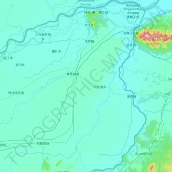
Name: 抚远市 topographic map, elevation, terrain.
Location: 抚远市, 佳木斯市, 黑龙江省, 154000, 中国 (47.42632 133.69400 48.42529 134.77546)
Average elevation: 61 m
Minimum elevation: 31 m
Maximum elevation: 924 m
Other topographic maps
Click on a map to view its topography, its elevation and its terrain.