
岭东区 topographic map
Interactive map
Click on the map to display elevation.
About this map
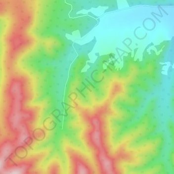
Name: 岭东区 topographic map, elevation, terrain.
Location: 岭东区, 双鸭山市, 黑龙江省, 155100, 中国 (46.46340 131.16355 46.50340 131.20355)
Average elevation: 359 m
Minimum elevation: 213 m
Maximum elevation: 560 m
Other topographic maps
Click on a map to view its topography, its elevation and its terrain.