
海林市 topographic map
Interactive map
Click on the map to display elevation.
About this map
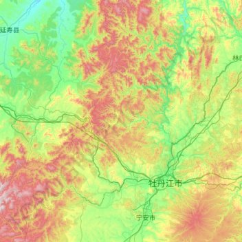
Name: 海林市 topographic map, elevation, terrain.
Location: 海林市, 牡丹江市, 黑龙江省, 中国 (44.19430 128.22440 45.62493 129.97169)
Average elevation: 497 m
Minimum elevation: 129 m
Maximum elevation: 1,665 m
Other topographic maps
Click on a map to view its topography, its elevation and its terrain.