
Thank you for supporting this site ❤️
Make a donation
Make a donation
Forbidden Peak topographic map
Click on the map to display elevation.
Thank you for supporting this site ❤️
Make a donation
Make a donation
About this map
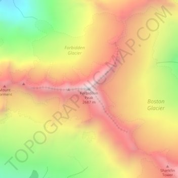
Name: Forbidden Peak topographic map, elevation, terrain.
Location: Forbidden Peak, Skagit County, Washington, United States (48.51158 -121.05854 48.51168 -121.05844)
Average elevation: 2,105 m
Minimum elevation: 1,387 m
Maximum elevation: 2,672 m
Thank you for supporting this site ❤️
Make a donation
Make a donation
Other topographic maps
Click on a map to view its topography, its elevation and its terrain.