
双泉镇 topographic map
Interactive map
Click on the map to display elevation.
About this map
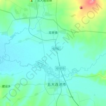
Name: 双泉镇 topographic map, elevation, terrain.
Location: 双泉镇, 五大连池市, 黑河市, 黑龙江省, 164300, 中国 (48.49555 126.07025 48.63030 126.33927)
Average elevation: 275 m
Minimum elevation: 244 m
Maximum elevation: 498 m
Other topographic maps
Click on a map to view its topography, its elevation and its terrain.