
兴山区 topographic map
Interactive map
Click on the map to display elevation.
About this map
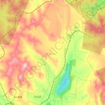
Name: 兴山区 topographic map, elevation, terrain.
Location: 兴山区, 鹤岗市, 黑龙江省, 154100, 中国 (47.34903 130.27370 47.41603 130.35242)
Average elevation: 224 m
Minimum elevation: 68 m
Maximum elevation: 340 m
Other topographic maps
Click on a map to view its topography, its elevation and its terrain.