
绥滨县 topographic map
Interactive map
Click on the map to display elevation.
About this map
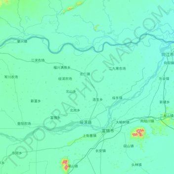
Name: 绥滨县 topographic map, elevation, terrain.
Location: 绥滨县, 鹤岗市, 黑龙江省, 中国 (47.18629 131.12800 47.75780 132.51235)
Average elevation: 64 m
Minimum elevation: 45 m
Maximum elevation: 519 m
Other topographic maps
Click on a map to view its topography, its elevation and its terrain.