
萝北县 topographic map
Interactive map
Click on the map to display elevation.
About this map
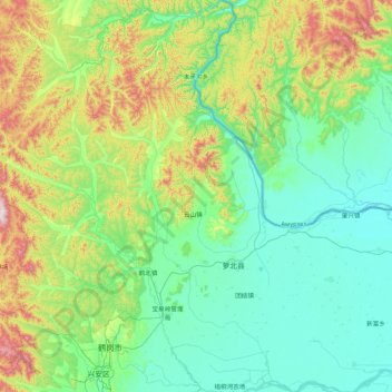
Name: 萝北县 topographic map, elevation, terrain.
Location: 萝北县, 鹤岗市, 黑龙江省, 中国 (47.19432 130.12714 48.35178 131.58230)
Average elevation: 231 m
Minimum elevation: 53 m
Maximum elevation: 1,033 m
Other topographic maps
Click on a map to view its topography, its elevation and its terrain.