
友好区 topographic map
Interactive map
Click on the map to display elevation.
About this map
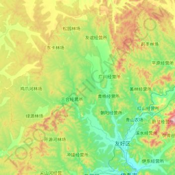
Name: 友好区 topographic map, elevation, terrain.
Location: 友好区, 伊春市, 黑龙江省, 153000, 中国 (47.76106 128.12598 48.40879 129.20570)
Average elevation: 415 m
Minimum elevation: 223 m
Maximum elevation: 1,028 m
Other topographic maps
Click on a map to view its topography, its elevation and its terrain.