
让胡路区 topographic map
Interactive map
Click on the map to display elevation.
About this map
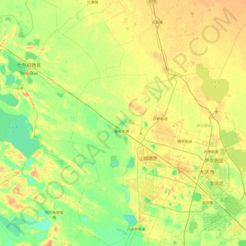
Name: 让胡路区 topographic map, elevation, terrain.
Location: 让胡路区, 大庆市, 黑龙江省, 中国 (46.40432 124.56097 47.03465 125.02307)
Average elevation: 147 m
Minimum elevation: 134 m
Maximum elevation: 163 m
Other topographic maps
Click on a map to view its topography, its elevation and its terrain.