
龙镇 topographic map
Interactive map
Click on the map to display elevation.
About this map
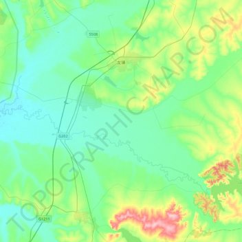
Name: 龙镇 topographic map, elevation, terrain.
Location: 龙镇, 五大连池市, 黑河市, 黑龙江省, 164300, 中国 (48.46422 126.45968 48.75181 126.89322)
Average elevation: 301 m
Minimum elevation: 263 m
Maximum elevation: 431 m
Other topographic maps
Click on a map to view its topography, its elevation and its terrain.