
杜尔伯特蒙古族自治县 topographic map
Interactive map
Click on the map to display elevation.
About this map
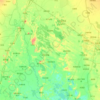
Name: 杜尔伯特蒙古族自治县 topographic map, elevation, terrain.
Location: 杜尔伯特蒙古族自治县, 大庆市, 黑龙江省, 中国 (45.87514 123.74780 47.13881 124.70496)
Average elevation: 142 m
Minimum elevation: 127 m
Maximum elevation: 194 m
Other topographic maps
Click on a map to view its topography, its elevation and its terrain.