
岭东区 topographic map
Interactive map
Click on the map to display elevation.
About this map
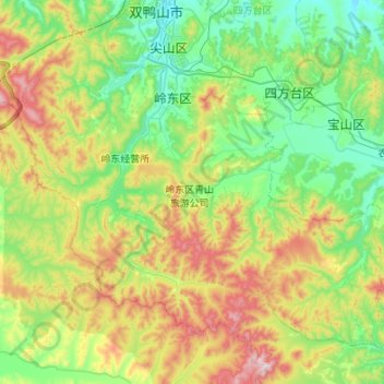
Name: 岭东区 topographic map, elevation, terrain.
Location: 岭东区, 双鸭山市, 黑龙江省, 155100, 中国 (46.34132 130.93773 46.65505 131.47765)
Average elevation: 320 m
Minimum elevation: 107 m
Maximum elevation: 832 m
Other topographic maps
Click on a map to view its topography, its elevation and its terrain.