
檀营乡 topographic map
Interactive map
Click on the map to display elevation.
About this map
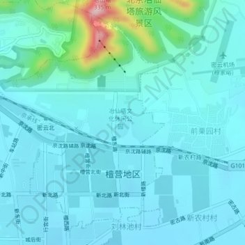
Name: 檀营乡 topographic map, elevation, terrain.
Location: 檀营乡, 密云区, 北京市, 中国 (40.38339 116.84969 40.40732 116.87384)
Average elevation: 106 m
Minimum elevation: 73 m
Maximum elevation: 324 m
Other topographic maps
Click on a map to view its topography, its elevation and its terrain.