
鼓楼街道 topographic map
Interactive map
Click on the map to display elevation.
About this map
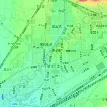
Name: 鼓楼街道 topographic map, elevation, terrain.
Location: 鼓楼街道, 密云区, 北京市, 中国 (40.34643 116.81208 40.40033 116.87679)
Average elevation: 73 m
Minimum elevation: 49 m
Maximum elevation: 136 m
Other topographic maps
Click on a map to view its topography, its elevation and its terrain.