
鄂尔多斯市 topographic map
Interactive map
Click on the map to display elevation.
About this map
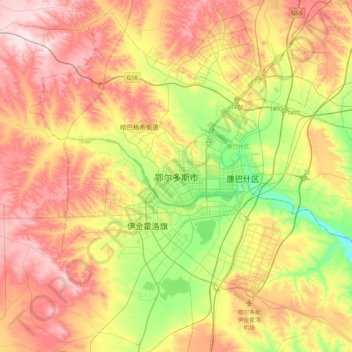
Name: 鄂尔多斯市 topographic map, elevation, terrain.
Location: 鄂尔多斯市, 康巴什区, 鄂尔多斯市, 内蒙古自治区, 017010, 中国 (39.44815 109.61637 39.76815 109.93637)
Average elevation: 1,372 m
Minimum elevation: 1,212 m
Maximum elevation: 1,535 m
Other topographic maps
Click on a map to view its topography, its elevation and its terrain.