
玉泉区 topographic map
Interactive map
Click on the map to display elevation.
About this map
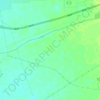
Name: 玉泉区 topographic map, elevation, terrain.
Location: 玉泉区, 内蒙古自治区, 中国 (40.70017 111.63065 40.74017 111.67065)
Average elevation: 1,031 m
Minimum elevation: 1,025 m
Maximum elevation: 1,037 m
Other topographic maps
Click on a map to view its topography, its elevation and its terrain.