
代钦塔拉苏木 topographic map
Interactive map
Click on the map to display elevation.
About this map
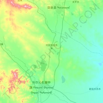
Name: 代钦塔拉苏木 topographic map, elevation, terrain.
Location: 代钦塔拉苏木, 科尔沁右翼中旗, 兴安盟, 内蒙古自治区, 中国 (44.98191 121.19151 45.40846 121.75192)
Average elevation: 297 m
Minimum elevation: 194 m
Maximum elevation: 754 m
Other topographic maps
Click on a map to view its topography, its elevation and its terrain.