
巴彦陶来苏木 topographic map
Interactive map
Click on the map to display elevation.
About this map
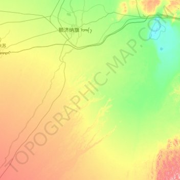
Name: 巴彦陶来苏木 topographic map, elevation, terrain.
Location: 巴彦陶来苏木, 额济纳旗, 阿拉善盟, 内蒙古自治区, 中国 (41.28420 100.62452 42.05786 101.76225)
Average elevation: 957 m
Minimum elevation: 891 m
Maximum elevation: 1,112 m
Other topographic maps
Click on a map to view its topography, its elevation and its terrain.